
ABOUT SPACECHAMPS

Precision Data.
Smarter Decisions.
Stronger Infrastructure.

For over 14 years, SpaceChamps has been a trusted leader in drone-based LiDAR, aerial mapping, and geospatial intelligence.

0Years of experience
0Projects delivered
0Enterprise clients
0Data quality target

OUR STORY

From a Small Team to a Trusted Partner

Founded in 2012, SpaceChamps began with a simple mission: make high-precision geospatial data accessible and actionable for the projects that shape our world.

What started as a small team of survey engineers and drone pilots has grown into a trusted geospatial intelligence partner serving clients across Southeast Asia and the Middle East.

Today, we combine deep field expertise with cutting-edge hardware and AI-powered processing — capturing reality at centimeter-level precision and turning it into decision-ready intelligence.
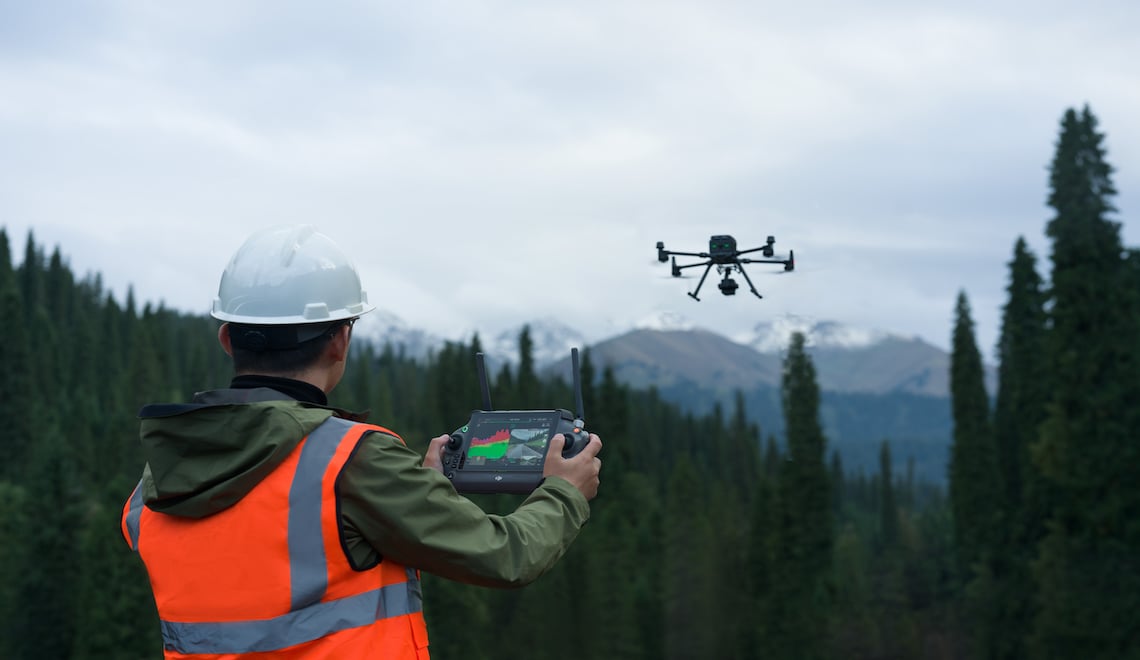
Survey operator flying a LiDAR-equipped drone in mountainous terrain
FIELD-TO-INSIGHT · EST. 2012Capture reality. Deliver certainty.

OUR JOURNEY

A 14-Year Legacy of Precision

Key milestones in our mission to make geospatial intelligence accessible and actionable.

2012

SpaceChamps Founded

Started with a small team of survey engineers and drone pilots passionate about precision data.

2015

First International Expansion

Expanded operations beyond domestic markets, taking on projects across multiple regions.

2018

LiDAR Technology Adoption

Integrated advanced LiDAR sensors and RTK positioning for centimeter-level accuracy.

2021

AI-Powered Processing Pipeline

Launched our cloud-based AI processing platform for automated classification and feature extraction.

2024

500+ Projects Milestone

Crossed 500 delivered projects with a 98.7% data quality target across all engagements.

2026

14 Years of Excellence

Today, SpaceChamps serves 250+ enterprise clients across Southeast Asia and the Middle East.

To deliver the most accurate, reliable, and actionable geospatial data — empowering organizations to plan smarter, build faster, and operate with confidence.

WHAT DRIVES US

Our Core Values

PrecisionCentimeter-level accuracy in every dataset we deliver.
InnovationContinuously adopting the latest hardware and AI workflows.
ReliabilityConsistent quality and on-time delivery for every project.
PartnershipWe work alongside our clients as an extension of their team.

Ready to Work with a Trusted Partner?

Talk to SpaceChamps about the drone and geospatial solution that fits your mission.