OUR TECHNOLOGY

Advanced Equipment.
Intelligent Workflows.

Industry-leading hardware that captures reality at centimeter-level precision, powered by AI-driven processing.

OUR EQUIPMENT

Industry-Leading Hardware

Every platform and sensor in our fleet is selected for maximum accuracy, reliability, and field performance.
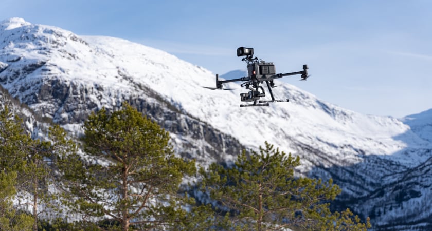
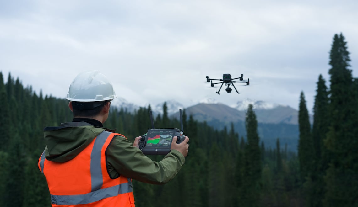
DJI Matrice 350 RTK flying during a mountain operationEQUIPMENT

DJI Matrice 350 RTK

Enterprise UAV
  • IP55 rated — all-weather operations
  • RTK centimeter-level positioning
  • 55 min max flight time
  • Hot-swappable dual batteries
Survey operator flying a drone with Zenmuse L2EQUIPMENT

DJI Zenmuse L2

LiDAR Payload
  • 5 returns, 240K pts/sec
  • 250m effective range
  • Built-in RGB camera
  • Ultra-accurate LiDAR scanning
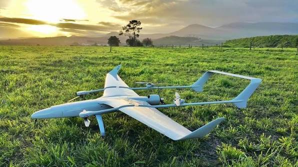
Long-endurance fixed-wing VTOL drone in a fieldEQUIPMENT

Long-Endurance VTOL

Large-Area Mapping
  • 4+ hour flight endurance
  • 500+ sq km per flight
  • No runway required
  • Autonomous launch & recovery
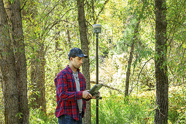
Surveyor using a Trimble R12i GNSS receiverEQUIPMENT

Trimble R12i

GNSS RTK Receiver
  • IMU-based tilt compensation
  • Multi-constellation tracking
  • Centimeter-level accuracy
  • All-weather operation
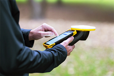
Trimble TDC6 mobile GIS data collectorEQUIPMENT

Trimble TDC6

Mobile GIS
  • 6-inch sunlight display
  • Sub-meter GNSS accuracy
  • 5G connectivity
  • Rugged IP68 rating

PROCESSING PIPELINE

From Takeoff to Delivery

Our end-to-end pipeline ensures quality, speed, and consistency at every stage.

01

Mission Planning

Flight paths, ground control, and safety protocols.

02

Drone Deployment

Automated flights capture LiDAR, imagery, thermal.

03

Raw Data QC

On-site quality checks ensure complete coverage.

04

Cloud Processing

Automated point cloud generation & classification.

05

AI Analysis

ML models classify features and flag anomalies.

06

Deliverables

Maps, models, and reports ready for use.

AI & AUTOMATION

Intelligent Processing

Machine learning accelerates every stage — from classification to delivery.

Automated Classification

Machine learning models automatically classify point clouds into ground, vegetation, buildings, and infrastructure — reducing manual processing by 80%.

Feature Extraction

AI-powered algorithms detect and measure features like road edges, building footprints, power lines, and stockpile boundaries with high precision.

Quality Assurance

Automated QA checks validate accuracy, completeness, and consistency against project specifications before any data is delivered.

Cloud Platform

Secure cloud-based delivery allows your team to view, measure, and share geospatial data from any device, anywhere in the world.

See Our Technology in Action

Talk to SpaceChamps about the drone and geospatial solution that fits your mission.